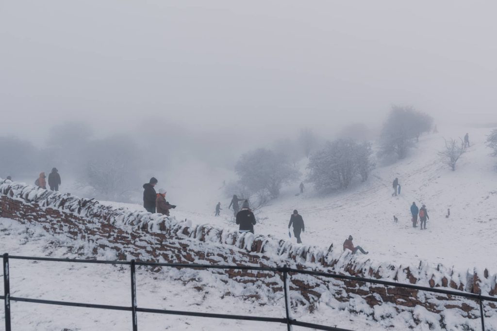
It’s fair to say that walking is one of the best ways to explore the Cotswolds. Get out, enjoy the fresh air whilst getting ‘behind the scenes’ views across the surrounding countryside.
There are many options for walking in Cotswolds scenery – gentle strolls, hilly hikes and a variety of circular walks including level, stile-free walks for wheelchairs and easy access.
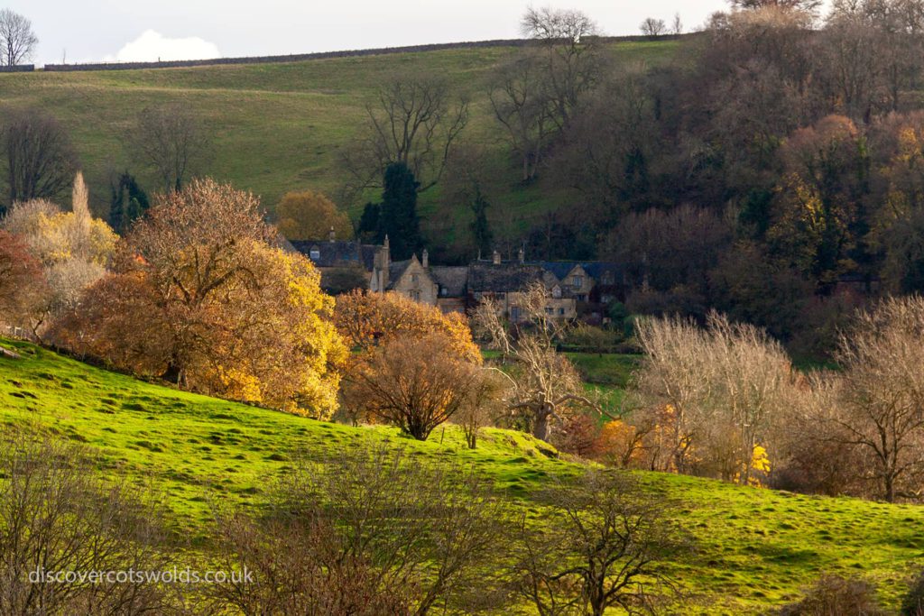
There are literally hundreds of miles of footpaths and walking routes that criss-cross this green and beautiful landscape. If you’ve got the time, we can think of no better way to explore and get some exercise while you’re at it.
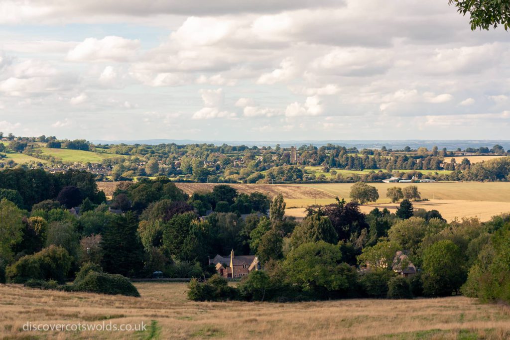
You could consider completing all or part of the Cotswold Way. This beautiful 102-mile route takes in some of the Cotswolds’ best scenery and is just one of many walks in the Cotswolds. Marvel at the sweeping views, historic monuments and picturesque villages with their honey coloured stone built cottages, all along the way.
This is just one of thousands of miles of walks in the Cotswolds, made up of footpaths and bridleways along the dramatic escarpment and through winding river valleys. This Area of Outstanding Natural Beauty is truly a walker’s paradise.
There are many ways to enjoy walking in the Cotswolds, depending on your own ability and how adventurous you are. You could venture out on your own with a map and compass or with the help of circular route guides.
Guided Walks
You might prefer to join the company of a walking group or guided walks leader. If you prefer the idea of walking with others, try joining one of the hundreds of guided walks that take place across the Cotswolds.
Many organisations run walking programmes and events including the Wildlife Trusts, National Trust and local authorities.
However you are used to walking, the Cotswolds is one of the best places in the country to get outside and go for a stroll or a ramble.
Walking Routes in the Cotswolds
There are a number of longer walking routes in the Cotswolds that can be walked in their entirety, as part of a walking holiday or in smaller sections on a circular walk.
If you’re looking for some shorter walks in the Cotswolds, check out our page on the Cotswold Way, that has been divided up into a number of shorter circular walks.
In addition to the Cotswold Way, the Cotswolds AONB boasts an impressive network of other paths that cater to all kinds of walkers. These paths cross some of the area’s finest landscapes and rolling hills, making it easy for people to explore and enjoy the countryside.
These walks will take you past historic landmarks such as Broadway Tower, Belas Knap and Sudeley Castle, alongside the river Windrush, through beautiful towns and villages such as Broadway and Stow on the Wold. You can admire the views from Cleeve Hill, or stop for refreshments in one of many traditional pubs.

Diamond Way
A diamond shaped circular walk along quiet footpaths that visits many small villages along the way. A scenic walk through rural Gloucestershire, created by the North Cotswold Ramblers Group to celebrate its 60th Jubilee. It stretches from near Chipping Campden in the north to Northleach in the south, Guiting Power in the west and Bourton-on-the-Water in the east.
Start/finish: Redesdale Hall, Moreton-in-Marsh (OS: SP204324)
Length: 65 miles (105 km)
Find out about more things to do near Moreton in Marsh.
Gloucestershire Way
The Gloucestershire Way starts from Chepstow. It crosses the River Severn at Gloucester then climbs the Cotswold escarpment at Crickley Hill. It then follows a route across the hills to Salperton, Stow-on-the-Wold and Winchcombe, then returns to the Severn at Tewkesbury.
Start: Chepstow Castle (OS: ST534941)
Finish: Tewkesbury (OS: SO891324)
Length: 94 mi (151km)
Heart of England Way
The Heart of England Way runs the length of the West Midlands from Cannock Chase AONB in Staffordshire, through Warwickshire, finishing in the Cotswolds. The walk is steeped in history and passes through the town of Chipping Camdpen, Batsford Arboretum – near Bourton on the Hill, Longborough and Lower Slaughter in the Cotswolds.
Start: Milford Common, Staffs (OS: SJ973209)
Finish: Bourton-on-the-Water, Glos (OS: SP166208)
Length: 101 mi (163km)
Limestone Link
The Limestone Link is a 36 miles long walk that connects the limestone of the Mendips to that of the Cotswolds. It runs between the Cotswold Way at Cold Ashton and the West Mendip Way at Shipham. Along the way it passes through the villages and valleys south of Bath. Except for an climb at either end, the walk is mostly flat and not strenuous.
Start: Cold Ashton (OS: GR751726)
Finish: Shipham (OS: GR445575)
Distance: 36 mi/58 km
The Macmillan Way (Cross Cotswold Pathway)
The Macmillan Way runs from Boston in Lincolnshire to Abbotsbury on the Dorset coast, following much of the oolitic limestone belt that the Cotswolds sits on. It’s named the Macmillan Way because all funds raised along the route are donated to the Macmillan Cancer Support charity. Along the Cotswold section of the route is the Cross Cotswold Pathway that runs from Bath to Banbury.
The Macmillan Way Association has also developed a route between Chipping Campden and Banbury known as The Cotswold Link. This enables walkers to do a ‘Cotswold Round’, going from Banbury to Bath on the Cross Cotswold Pathway, from Bath to Chipping Campden on the Cotswold Way and returning to Banbury via the Cotswold Link.
Start: Boston (OS: TF327442)
Finish: Abbotsbury (OS: SY560845)
Distance: 287 mi/461km
Monarch’s Way
The Monarch’s Way is based on the lengthy route taken by King Charles II during his escape after defeat by Cromwell in the final battle of the Civil War at Worcester in 1651. It takes in Boscobel (the Royal Oak Tree), Stratford-upon-Avon, the Cotswolds, Mendips and the South Coast from Charmouth to Shoreham.
There are many historic buildings and features of interest, with connections to numerous other routes. The whole route is 615 miles in length making it the longest inland trail in England.
Start: Powick Bridge (OS 835525)
Finish: Shoreham-by-Sea (TQ 237046)
Distance: 615 mi/990km
Oxfordshire Way
The Oxfordshire Way, a traverse of Oxfordshire from the Chilterns AONB to the Cotswolds AONB, links the Heart of England Way with the Thames Path National Trail, across the rolling limestone of the Cotswold Hills. It passes through Shipton-under-Wychwood, Charlbury and other villages before crossing Otmoor to Studley, north of Oxford. It then turns to Tetsworth and Pyrton, crosses the open farmland and woods of the chalk hills of the Chilterns to reach the Thames. The route also connects to Blenheim Park, a World Heritage Site.
Start: Bourton-on-the-Water (OS: SP167206)
Finish: Henley-on-Thames (OS: SU763826)
Length: 67 mi (108 km)
Palladian Way
This trail is named after the classical style of architecture from 17c Italy. The trail starts at The Old Gaol in the centre of Buckingham. The route passes a number of the finest classical house and estates in “middle England” including Stowe Landscape Gardens, Blenheim Park and Cirencester Park as it goes through glorious Cotswolds scenery in the counties of Oxfordshire, Wiltshire and Gloucestershire. Finally it descends towards Bath with a view of the Palladian Bridge at Prior Park, eventually finishing in the centre of the city at the unique covered Pulteney Bridge.
Start: The Old Goal, Buckingham (OS: SP696341)
Finish: Pulteney Bridge, Bath (OS: ST751649)
Length: 125 mi (200km)
Sabrina Way
Opened in 2002 and named after the Roman goddess of the River Severn, this is one of a growing number of strategic long distance riding routes devised by the British Horse Society and Ride-UK.
It links with the Claude Duval Bridle Route in Great Barrington, heading west for 28 miles through the Cotswolds AONB to Woolstone, picking the most interesting and attractive riding route to the least hazardous crossing of the River Severn, at Haw Bridge, before turning north to Hartington in Derbyshire, where it links with the Pennine Bridleway.
Start: Great Barrington, Gloucestershire (OS: SP208138)
Finish: Hand Dale Farm, near Hartington (OS: SK149612)
Distance: 203 mi (327 km)
Wardens Way
The Wardens Way provides a link between the Oxfordshire Way at Bourton and the Cotswold Way National Trail at Winchcombe. Whereas its sister route, the Windrush Way, takes to the hills, this route meanders through the villages of Lower and Upper Slaughter, Naunton and Guiting Power.
Start: Winchcombe: Abbey Terrace (OS: SP024282)
Finish: Bourton on the Water: war memorial (OS: SP168207)
Length: 14 mi (22 km)
Windrush Way
Connecting the Cotswold Way at Winchcombe with the Oxfordshire Way at Bourton on the Water, the Windrush Way goes over the hills with only the remains of ‘lost’ medieval villages en route to the River Windrush in Bourton. Its sister route, the Warden’s Way, winds through the villages.
Start: Winchcombe: Abbey Terrace (OS: SP024282)
Finish: Bourton on the Water war memorial (OS: SP168207)
Length: 14 miles (22 km)
The Wardens and Windrush Way were created in the 1980’s by the Cotswold Voluntary Wardens. These two 14 mile trails connect the Cotswold Way in Winchcombe and the Oxfordshire Way at Bourton to form a useful link in the network of long distance paths.
Winchcombe Way
The Winchcombe Way is a figure-of-eight trail centred on the town of Winchcombe. The trail is intended to show walkers some hidden gems of the northern Cotswolds. The landscape is constantly evolving, revealing the perfect charm of the Cotswolds.
The western loop ascends Langley Hill taking in wonderful views before descending into Gretton then across to Alderton. The trail then skirts around Dumbleton Hill with ever changing views before heading to Alstone. From Alstone the views ahead of wooded hills inspires one to climb Nottingham Hill and onto Cleeve Hill.
The vast common has rare plants and spectacular views to enjoy before you head to Belas Knap long barrow and descend towards Winchcombe with beautiful views of Sudeley Castle and the surrounding area.
The eastern loop ascends out of Winchcombe following the Farmcote valley before entering Guiting Wood. Then it passes through the quiet valleys and tranquil villages of Cutsdean, Toddington and Snowshill. The route turns and follows the Cotswold escarpment via the villages of Buckland, Laverton and Stanton, nestling at the bottom of the hill. Finally passing the spectacular Stanway House and watermill before passing Hailes Abbey on the return to Winchcombe.
Start/finish: Abbey Terrace, Winchcombe, Glos (OS SP022282)
Length: 42 mi (68 km)
Wychavon Way
Originally opened to celebrate the Queen’s Silver Jubilee in 1977 this route links the river Severn and the Cotswolds through the Vale of Evesham, with villages, hills, rivers and, in springtime, plenty of beautiful flower displays. The walk originally ended in Winchcombe but was re-routed in 2011 to Broadway.
Start: Holt Fleet, Droitwich Spa (OS: SO824633)
Finish: Broadway (OS: SP095375)
Length: 42 mi (67 km)
Wysis Way
The Wysis Way links the rivers Wye, Severn and Thames. The route starts in Monmouth and crosses the Forest of Dean and Severn Vale, then climbs the Cotswold escarpment and continues to Bisley. It drops down into the Frome Valley and leads south to the watershed at Thameshead and the source of the Isis, the highest tributary of the river Thames.
Start: Wye Bridge, Monmouth (OS: SO510130)
Finish: Kemble (OS: ST985975)
Length: 55 mi (88 km)
WAS (Walk around Stroud) Way
The WAS is an 11 mile circular walk that follows public footpaths around the entire town boundary, offering wonderful views across the beautiful Stroud Valleys.
Start/Finish: Slad Road, Stroud town centre
Length: 11 mi (18 km)
The Countryside Code
When walking in the Cotswolds, please remember the Countryside Code:
- Be safe – plan ahead and follow any signs
- Leave gates and property as you find them
- Protect plants and animals, and take your litter home
- Keep dogs under close control
- Consider other people
Local tourist information offices provide details of walks in their areas and a number of organisations offer guided walks, including:
- Local branches of the Ramblers’ Association www.ramblers.co.uk
- Gloucestershire Wildlife Trust www.gloucestershirewildlifetrust.co.uk
- Gloucestershire Geoconservation Trust www.glosgeotrust.org.uk
- Cotswolds National Landscape Voluntary Wardens https://www.cotswoldsaonb.org.uk/visiting-and-exploring/guided-walks/
Access to the countryside
The Cotswolds countryside is not open everywhere for walkers to roam at will. Many sections of it that were previously off-limits were opened up for public access as a result of the Countryside and Rights of Way Act 2000.
New access rights came into effect across the whole of England in October 2005, when 750,000 hectares of land that was off-limits to walkers were opened up.
Since then walkers have had greater freedom to discover and enjoy the Cotswolds AONB. For example, in Gloucestershire alone 3,700 hectares of land was opened up for public access.
Where to find out about Access land
People have the right to access areas of land marked on ‘conclusive maps’ which can be found at the Natural England website. Access land is also shown on the new editions of the orange OS Explorer maps.
On the newly mapped land you can do anything from rambling to bird watching but alongside these rights, come responsibilities.
Please remember that these areas of land are still privately owned. The farmers or land manager’s needs should be respected at all times if you are accessing their land. For more background go to the Countryside Access website.
Local Authority Access Information
Click on the links below to see access webpages from all of the local authorities in the Cotswolds AONB:
- Bath and North East Somerset
- Oxfordshire County Council
- Gloucestershire County Council
- Warwickshire County Council
- Wiltshire County Council
- Worcestershire County Council
- South Gloucestershire Council
If you would like to learn more, the Cotswolds Conservation Board runs map and compass courses at certain times of the year. Please visit their rural skills website – www.cotswoldsruralskills.org.uk for further information.